Burn Information
NOTE: Backyard Burn Season CLOSED.
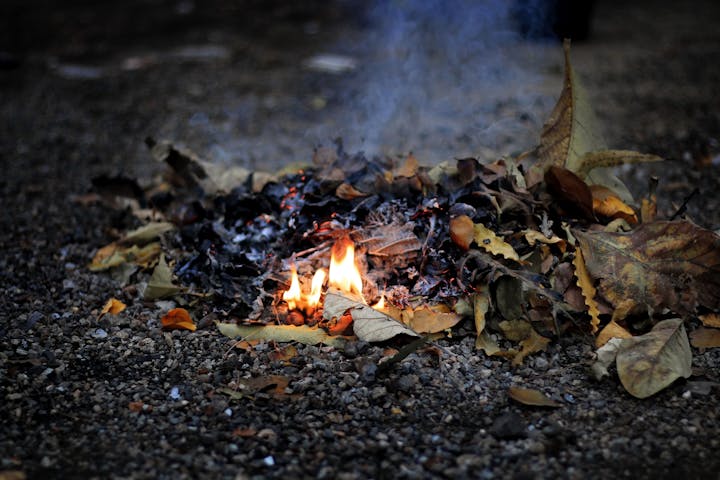
Backyard BURN SEASONS are March 1-June 15 and October 10- December 15.
Recreational fire permits are available year round.
PLEASE NOTE: AGRICULTURAL BURNING is by Permit from the Department of Agriculture and not covered here. Only grass seed operations fall under Ag Burning, otherwise it is considered Backyard (Open) Burning (including operations on a farm, Christmas Trees, etc. - per ODA).
Burn permits are now required for all burning. There is no cost for a burn permit. Burn permits can be submitted on this website using the Burn Permit links below, or by calling 541-360-0030. Please carefully review the information below and complete a burn permit prior to starting any burning.
You can view the Oregon Department of Forestry Public Use Restrictions here:
Fire Danger Restrictions ChartQUICK LINKS:
Daily Burn Announcement (During Backyard Burn season)
If you live within the Philomath Fire District please complete the Burn Permit here: link.
If you live within the Hoskins-Kings Valley Fire District please complete their Burn Permit at Hoskins-Kings Valley Rural Fire Protection Burn Information.
Outdoor burning is only permitted from end of fire season, October 10th through December 15th and March 1st through June 15th, or the start of fire season, whichever happens first.
In addition, during these ‘burn days’, the Department of Environmental Quality (DEQ) issues the start and stop times that these burns can take place. Some days, burning cannot take place at all due to barometric inversions, high winds, low humidity, etc. The burn times are updated each day during burn season and can be checked from the Daily Burn Announcement link below or through our burn advisory line at 541-929-5903. Call the Burn Line after 8:00 AM for the times burning is allowed for that day.
For all burning situations:
- The property owner is responsible for any fire, smoke or odors created from open burning and for any damage that results from that fire.
- A responsible person must constantly attend any open burning. This person must be capable of and have the equipment for extinguishing the fire.
- The fire must be completely extinguished before leaving it.
- The fire cannot create a nuisance or a hazard to public safety.
These materials may never be open burned (including and especially in fireplaces, burn barrels, etc.):
- Garbage
- Plastic
- Asbestos
- Wire insulation
- Automobile parts
- Asphalt
- Petroleum treated materials
- Painted wood and wood treated with creosote or pentachlorophenol
- Rubber products including tires
- Animal remains
- Animal or vegetable matter resulting from the handling, preparation, cooking or service of food
- Any other material that emits dense smoke or noxious odors
Smoke complaints are handled by the Department of Environmental Quality. Their hotline is 1-888-997-7888. If you have a complaint about smoke, please call the DEQ hotline. It is left to individuals and their neighbors to work out any issues. People should seek out legal advice in the cases where a nuisance is created, or through their landlord in the case of community property. The Fire Department does not get involved in local legal matters or neighbor complaints. 9-1-1 should only be called in cases of an emergency: fire spread, people burned or injured – in other words, an imminent danger to life and property.
If you have any questions about burning activities, please contact our Operations Chief at 541-360-0029 during business hours.
Link - Oregon Open Burning Guide - a publication from the State of Oregon Department of Environmental Quality
Link - Agrucultural vs Backyard Burning - a publication from the Oregon Department of Agriculture
Link - Grower Resources - a publication from the Oregon Department of Agriculture for Permits to burn
Link - Department of Environmental Quality (DEQ) Complaints
Fire Danger Levels - The Oregon Department of Forestry has put together an interactive map of the fire danger levels in your area. Click here to access that information.
Map of Control Areas
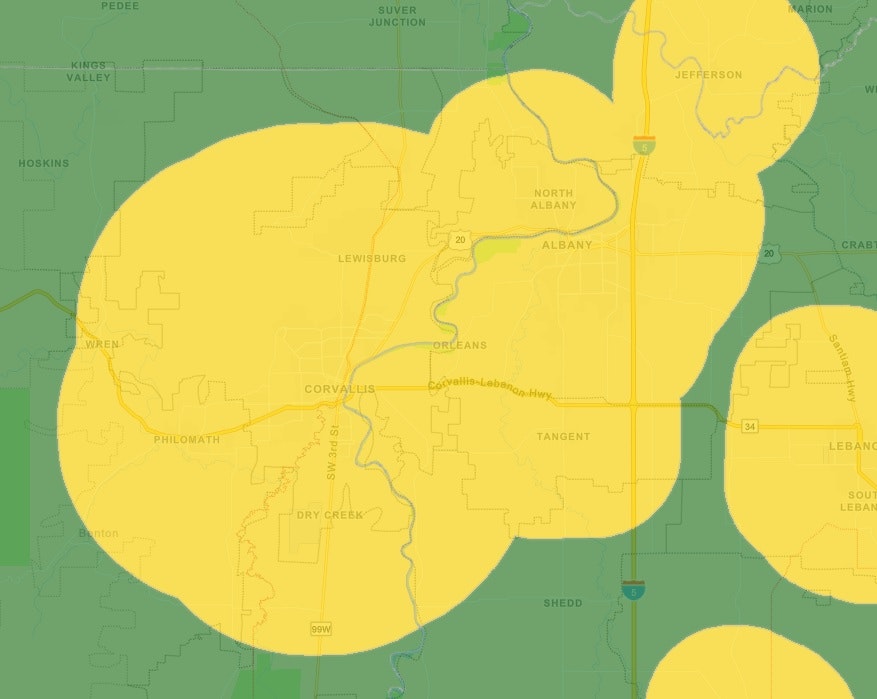
The DEQ Burn Day Information speaks of Control Zones. For all intents and purposes, 95% of our District lies in a Control Zone, and under the authority granted by law, we have opted to consider all of the District included in the same restriction levels.